QGIS BOOKS
QGIS For Hydrological Applications
Learn GIS skills for catchment hydrology and water management with QGIS for Hydrological Applications!
This workbook introduces professionals in the water sector to the state of the art functionality of QGIS 3.x for hydrological applications. The book can also be used as a beginner’s course introducing GIS concepts in a problem based learning manner.
Designed to take advantage of the latest QGIS features, this book will guide you in improving your maps and analysis.
In addition to the core functionality of QGIS, you’ll be introduced to many useful plugins.
The book is a complete resource and includes:
Lab exercises
Discussion questions
Links to videos with theory and explanations of the exercise
Discover QGIS 3.x - Out Now!
Updated for QGIS 3.6 (long-term release)
A workbook for classroom or independent study
Lab exercises based on the GeoAcademy
Data, Discussion questions & Solution files included
Challenge exercises
Learn enhanced workflows with QGIS 3.x
Covers Spatial analysis, Data management & Cartography
New section - Advanced Data Visualization
Blending modes | Live layer effects | Expression-based symbology | Geometry generators | Time Manager | 3D | Mesh data
Available in Print and e-Book
400 pages
$35
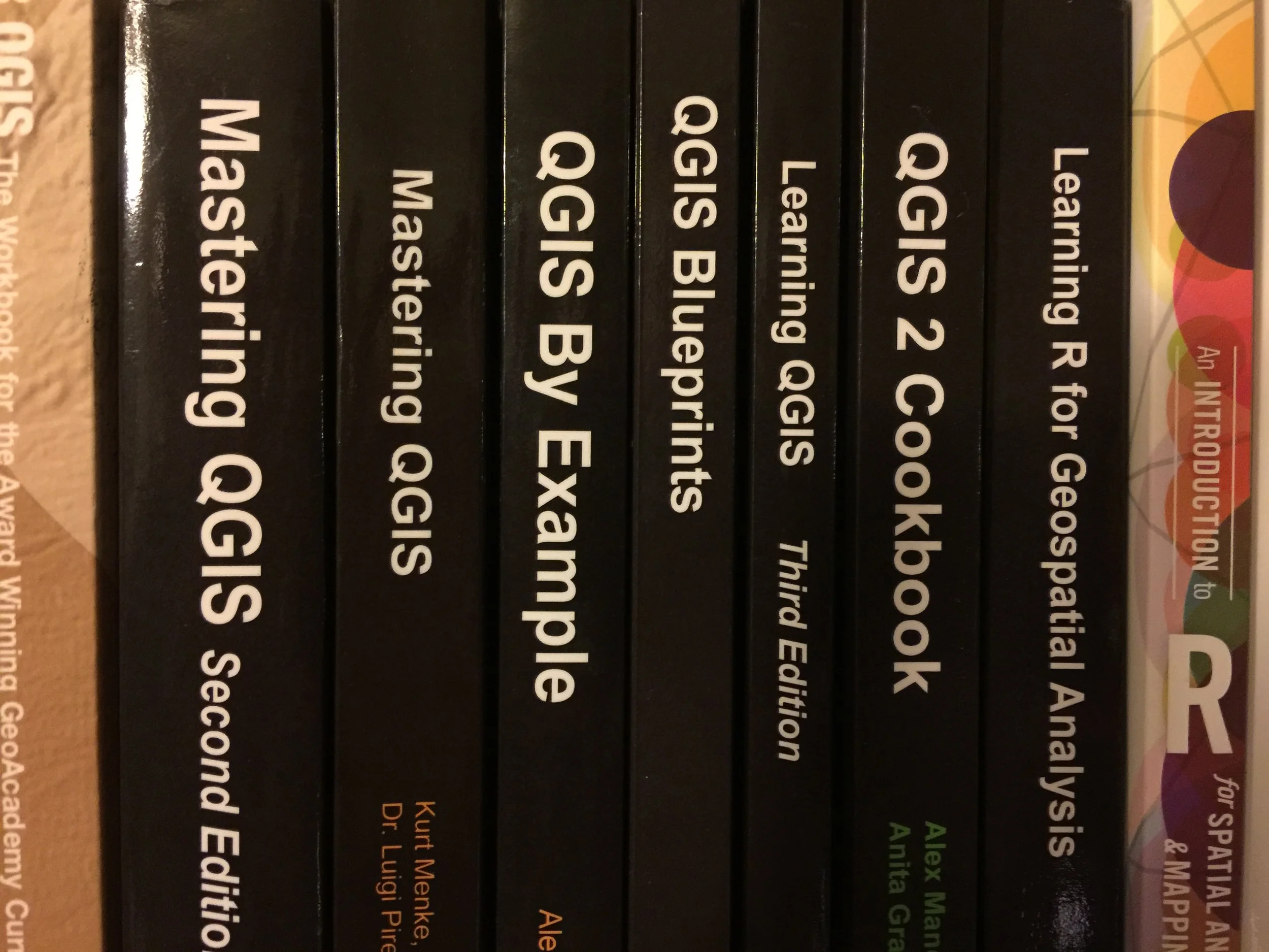
Kurt Menke is the author several previous books on the open source GIS software QGIS. In 2016 he authored Discover QGIS with Locate Press and co-authored the second edition of Mastering QGIS with Packt Publishing. Click on the images below for further information.


